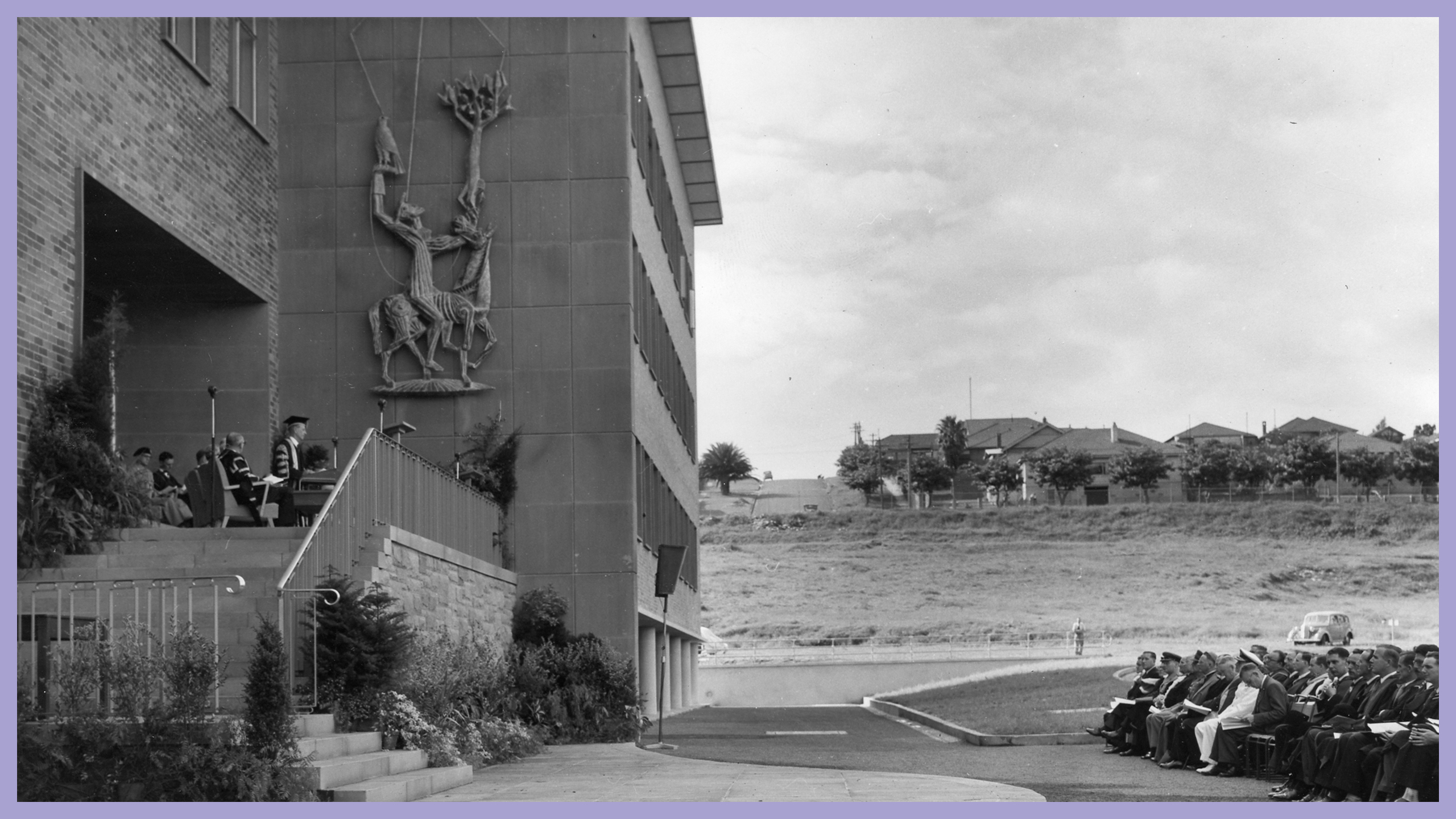
Smart Data Smart Cities and 3D GeoInfo Joint Internation
The Smart Data and Smart Cities (SDSC) Conference is an annual international conference that brings together international experts in city analytics, GIS, digital twins, smart cities and data science from leading research institutes to discuss advances in methods and applications. It provides a forum to discuss the use data and technology to plan and shape our future cities. SDSC is the annual conference of the Urban Data Management Society, a society over 40 years old.
3D GeoInfo is an annual international conference that provides a forum for decision-makers, professionals, academia, data providers and vendors in the field of 3D geoinformation focussing on theoretical, standardisation, technical, implementation and application issues in different disciplines. 3D Geoinfo has been organised since 2006 in different parts of the world.
This year the 7th annual SDSC conference and 17th 3D GeoInfo will be jointly held in Sydney, Australia 18-21 October, 2022. This is the first time SDSC conference has come to Australia, and in fact the Southern Hemisphere. It is the second time 3D GeoInfo has been organised in Australia. This joint event will be organised by City Futures Research Centre, Smart Cities and Infrastructure Cluster and Geospatial Research Innovation Development (GRID) at the University of New South Wales, Sydney.
Highlight keynotes of the conference include the Hon Minsiter Rob Stokes, The Hon Minister Victor Dominello, Deputy Secretary Kiersten Fishburn, Professor Volker Coors, Professor Flora Salim, Professor Nick Bailey, Professor Mike Batty, Professor Debra Laefer, Professor Sugie Lee, Dr Polly Hudson and Professor Libby Wentz.
For more information view our website.
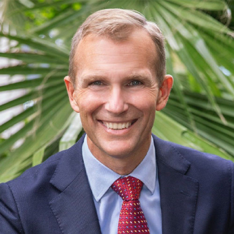
Minister Rob Stokes
Minister for Infrastructure, Cities and Active Transport.Rob Stokes is the NSW Minister for Infrastructure, Cities and Active Transport.
He has been a Member of the NSW Parliament since 2007 and has served as Minister for Planning and Public Spaces, Minister for Transport and Roads, Minister for Education, Minister for Environment, Minister for Heritage and Minister for the Central Coast.
Rob is an Honorary Fellow with Macquarie Law School, holds a double degree in arts and law from Macquarie University, a Masters of Science from the University of Oxford, and a PhD in planning law.
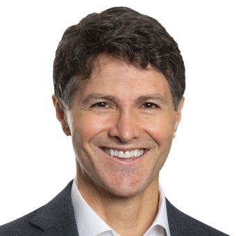
Minister Victor Dominello
Minister for Customer Service and Digital Government.Victor Dominello is a senior Minister in the New South Wales Government and has held various portfolios over the last decade including Aboriginal Affairs, Innovation and Finance.
In 2019 he was appointed the inaugural Minister for Customer Service and in 2021 was also appointed the inaugural Minister for Digital Government.
Victor firmly believes the use of real-time data and technology are the most powerful ways to improve quality of life and reduce suffering.
Victor was a member of the original Crisis Cabinet which led the NSW response to Covid-19 and now sits on the Covid-19 and Economic Recovery Committee.
His particular focus has been on delivering digital solutions such as the Service NSW QR code check-in feature and the real-time data analysis which has informed the state’s decision making.
Victor has been the driving force behind the roll out of the Digital Driver Licence, the establishment of the $2.1b Digital Restart Fund and the rapid expansion of the Service NSW app to include QR code check-ins, the voucher programs, such as Dine and Discover, Covid-19 test alert notifications and the registration of positive rapid antigen tests.
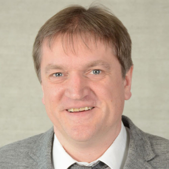
Professor Volker Coors
Professor Stuttgart UniversityVolker Coors is Professor in Geoinformatics and Computer Science at HFT Stuttgart. His research is focused on 3D Geospatial data infrastructure and Urban Geo-Informatics. He holds a Diploma degree with honours in Computer Sciences and a doctoral degree in Computer Graphics from Technical University of Darmstadt. From 2006-2017 he was Dean of Studies of the Information Logistics course. Since 2019 he is scientific director of the Institute for Applied Research at HFT Stuttgart. Prof. Coors is a member of the CityGML Standard Working Group (SWG) and chairman of the 3D Portrayal SWG of the Open Geospatial Consortium (OGC). He is a founding member of the joint commission "3D-City Models" of the German Society for Cartography e.V. and the German Society for Photogrammetry, Remote Sensing and Geoinformation e.V. and Vice-President of the Urban Data Management Society. In 2020 he was guest editor of a special issue on “The Applications of 3D-City Models in Urban Studies” in the peer-reviewed ISPRS International Journal of Geo-Informatics.
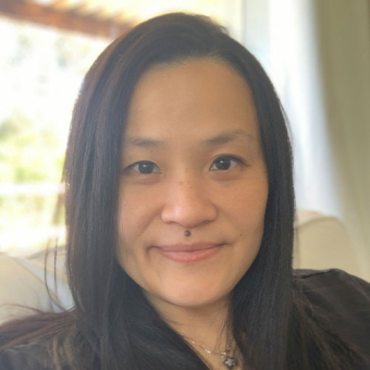
Professor Flora Salim
Professor, UNSWProfessor Flora Salim is the CISCO Chair of Digital Transport, School of Computer Science and Engineering, UNSW Sydney. Her research, on behaviour modelling, AI and machine learning on time-series and spatio-temporal sensor data, has been funded by the ARC, Humboldt Foundation, Bayer Foundation, Microsoft Research, Qatar National Research Fund, and many local and international industry partners. She won the Women in AI Awards 2022 ANZ - Defence and Intelligence category. She is a member of the Australian Research Council (ARC) College of Experts, an Honorary Professor of RMIT University, an Associate Investigator of ARC Centre of Excellence for Automated Decision Making and Society, a member of ACM UbiComp Steering Commitee, Associate Editor of ACM Transactions on Spatial Algorithms and Systems, Area Editor of Pervasive and Mobile Computing, Associate Editor of Proceedings of the ACM on Interactive, Mobile, Wearable, Ubiquitous Technologies (IMWUT). She obtained her PhD from Monash University in 2009.
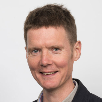
Professor Nick Bailey
Professor, University of GlasgowNick Bailey is Professor of Urban Studies at the University of Glasgow and Director of the Urban Big Data Centre. UBDC is an international centre-of-excellence in the use of ‘digital footprints’ data and associated analytical technologies to address the challenges of urban planning, development and management. It is a multi-disciplinary research centre and national data service, funded by UKRI-ESRC. Nick is also Associate Director of the Scottish Centre for Administrative Data Research, which works to enhance access to linked individual-level administrative datasets. His own research focuses mainly on urban housing and neighbourhood systems.
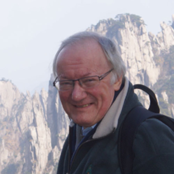
Professor Michael Batty
Professor, University College LondonMichael Batty is Bartlett Professor of Planning at University College London where he is Chair of the Centre for Advanced Spatial Analysis (CASA) and a Turing Fellow in the Alan Turing Institute. He has worked on computer models of cities and their visualisation since the 1970s and his recent publications Cities and Complexity (2005), The New Science of Cities (2013), and Inventing Future Cities (2018), are all published by The MIT Press. The edited book Urban Informatics (Springer 2021) reflects his focus on the applications of digital technologies to urban planning. With Wei Yang, he published A Digital Future for Planning: Spatial Planning Reimagined, The Report of the Digital Task Force for Planning in 2022.

Professor Debra Laefer
Professor, New York UniversityDebra Laefer is a Professor of Urban Informatics at New York University (NYU) and earned degrees from Columbia University (BA, BS), NYU (MS), and the University of Illinois at Urbana-Champaign (MS, PHD). In 2001, she undertook the mission of harnessing remote sensing capabilities for city-scale engineering workflows (e.g. infrastructure assessment, disaster mitigation). This began by re-envisioning urban, aerial LiDAR data capture, creating automatic means for conversion into computational modelling, employing hyperspectral imagery for differentiating in situ mechanical attributes, and pioneering high performance computing solutions for all attributes of full waveform LiDAR and for integrating multi-dimensional datasets. Most recently, her research has challenged the underpinnings of machine learning and deep learning for LiDAR datasets and forged new conceptions in 3D epidemiology to curb COVID-19 transmission. She has authored over 200 peer-reviewed papers and received numerous awards: 2021 Oracle Outstanding Paper Award in LiDAR Data Storage; 2020 New York State GIS Association COVID-19 Award, 2020 ESRI awards, and 2019 Institution of Civil Engineers Manby ICT/GIS/BIM award. Most recently she chaired the 2021 3D GeoInfo Conference in New York City.
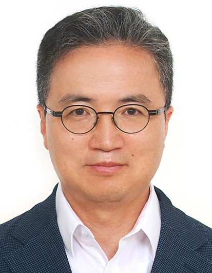
Professor Sugie Lee
Professor, Hanyang UniversitySugie Lee is a Professor in the Department of Urban Planning & Engineering and a director of the Urban Design & Spatial Analysis Lab (UDSAL) at Hanyang University in Seoul, Korea. He is interested in smart city, urban mobility, walkability, and urban safety as well as the application of urban big data and machine learning to address various urban problems. He has published in such academic journals as Journal of Planning Education and Research(JPER); Urban Studies; Land Use Policy; Transport Policy; Landscape and Urban Planning; Computers, Environment, and Urban System; and Environment and Planning B. He is also currently a member of the editorial board in such journals as JPER; International Journal of Urban Sciences; Journal of Korea Planning Association; and Journal of Urban Design Institute of Korea. He is a vice president of the Korea Regional Science Association and chairperson of the Seoul Metropolitan Region Planning Committee of the Korea Planning Association.
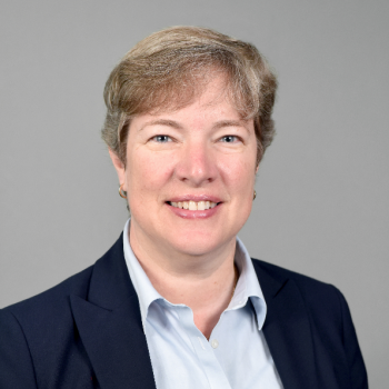
Professor Elizabeth Wentz
Professor, Arizona State UniversityElizabeth Wentz is the Vice Provost and Dean of the Graduate College and a professor in the School of Geographical Sciences and Urban Planning at Arizona State University. She is also the Interim Director for the School of Geographical Sciences and Urban Planning (2020-2021). She leads ASU ADVANCE, to become a higher education leader in inclusion and diversity at all levels of the university, from undergraduates to academic leadership. She is the Director and PI of the Knowledge Exchange for Resilience, an ASU initiative to support Maricopa County, Arizona by sharing knowledge, catalyzing discovery, and exchanging responses to challenges together, in order to build community resilience. Her research focuses on the design, implementation and evaluation of geographic technologies with particular emphasis on how such technologies can be used to understand urban environments. Geographic technologies, which include Geographic Information Systems (GIS), remote sensing, and spatial analysis, offer insight into how human activities and physical space relate in urban systems by using quantitative methods to measure and analyze such activities.
Register for this exciting event to meet a range of local and international experts in the field of Smart Data and Smart Cities and 3D GeoInfo.
Spaces are filling up quickly, be sure to register soon.
